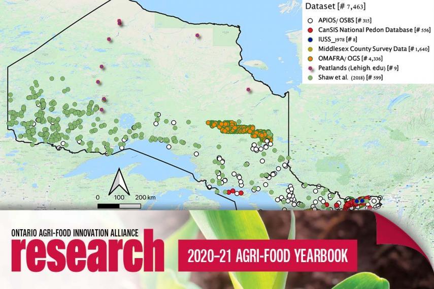
Digital mapping offers a sharp view of Ontario soil
Soil mapping provides farmers and policy makers with detailed information on the condition and characteristics of land. Traditional soil mapping, in which a surveyor collects soil samples and maps their locations, was an important first step toward better soil conservation and environmental sustainability. However, it doesn’t provide the kind of broad picture now possible through digital soil mapping based on greater computational power and availability of environmental data.