History | Page 13 | College of Arts

History

Geographic Information Systems

Resources

Maps and Data

University of Guelph Data Collection:

Geographic Information Systems

Case Study

Flax in Waterloo County, 1861-1871

This case study joins the 1861 Canadian Census to a modern map of lots and concessions and uses the 1861 Tremaine map of Waterloo township, Canada West, to find addresses and check for historical accuracy. The data it displays are flax production figures, but they could just as easily be information about people or other produce.


Map

Geographic Information Systems

Basic and Advanced Functions of GIS

Originally, scholars used GIS for organizing data and creating maps for presentations. While still common, GIS software can now perform more analytical functions. The next two sections describe some of the descriptive (basic) and analytical (advanced) functions of GIS.

Ontario Tweedsmuir Histories

woman with cow

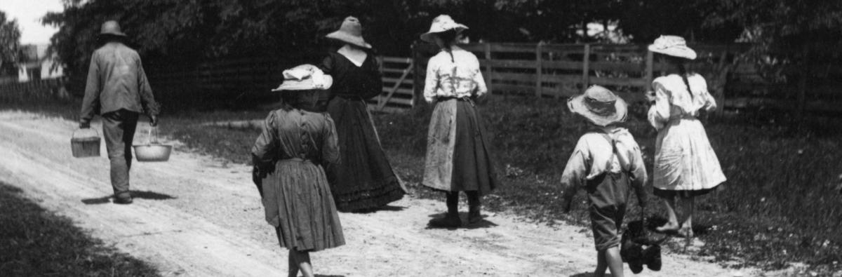
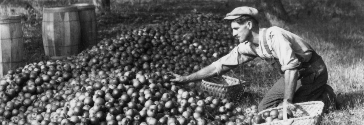
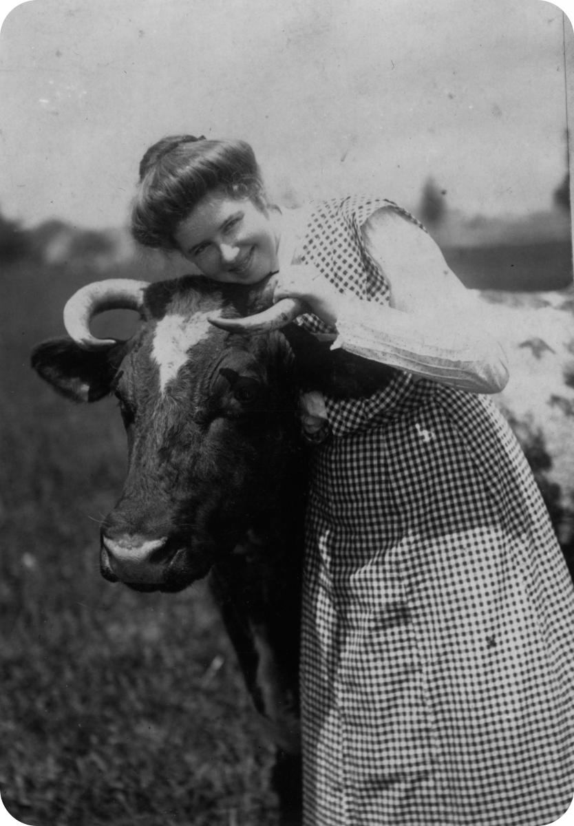
Tweedsmuirs are history books compiled by Women’s Institute branches to preserve the local history of each community. They resemble scrapbooks as they contain newspaper clippings, photographs, and handwritten histories. The histories include various information on the community including: churches, schools, land and property, and biographies.

Business Account Books

Bibliography of Research Using Business Account Books


Canadian material

Bittermann, Rusty. “Farm Households and Wage Labour in the Northeastern Maritimes in the Early 19th Century.” Labour/Le Travail 31 (Spring 1993): pp. 13-45.
         The several merchants’ accounts used periodically in this article were analysed for their portrayal of rural labour traded for credit.