Unveiling Gullies: Efficient Detection Using Topographic Indices
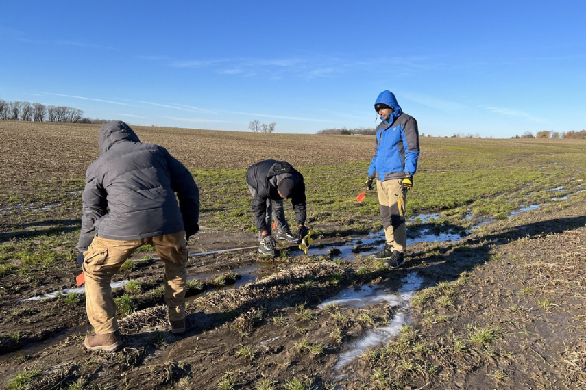
Soil erosion is a significant environmental issue, particularly in agricultural regions. In Southern Ontario, ephemeral gullies contribute to approximately 82-85% of soil erosion, posing a severe threat to soil health, water quality and agricultural productivity. This problem necessitates innovative solutions for effective detection and mitigation.
The primary challenge lies in accurately detecting and measuring ephemeral gullies over large scales without the need for time-consuming and location-specific calibrations. Existing methods often require extensive manual digitization or calibration, limiting their applicability across diverse landscapes.
Beyond Conventional Methods
Drs. Prasad Daggupati, Associate Professor in the School of Engineering, and Asim Biswas, Professor in the School of Environmental Sciences, are spearheading groundbreaking research with PhD student Mr. Hamid Mohebzadeh that is focused on developing a topographic index-based approach that eliminates the need for calibration, enabling efficient large-scale detection.

Focusing on the Northern side of Lake Erie basin, their research employs a topographic index-based method to detect ephemeral gullies. A topographic index is a quantitative measure that reflects the influence of terrain on hydrological processes. This method uses data on the shape and features of the landscape to predict where gullies are likely to form.
To achieve this, the researchers leverage high-resolution Light Detection and Ranging (LiDAR) data. LiDAR is a remote sensing technology that uses laser light to measure distances to the Earth's surface, generating precise three-dimensional information about the shape of the land and its features. This high-resolution data provides detailed maps of the terrain, which are crucial for accurately identifying potential gully locations.
Additionally, the approach incorporates land management activities and detailed soil layers within the Lake Erie Basin. Detailed soil layers refer to comprehensive data about the types of soil present in the area, including their properties and distribution. By integrating this information, the researchers can more accurately model and predict gully formation without needing to calibrate their models for specific locations.
Lowering Soil Erosion
The innovative approach of this study has significant implications for soil conservation practices. By accurately identifying gully trajectories across large-scale areas without site-specific calibration, the research enables the implementation of effective Best

Management Practices (BMPs). BMPs are essential strategies and practices that farmers can adopt to control and reduce soil erosion, thus preserving soil health and water quality. Moreover, by reducing agricultural pollution, this research contributes significantly to the preservation of water quality in the Great Lakes.
The study successfully demonstrated the method's efficacy in detecting gullies without calibration. This breakthrough allows policymakers and farmers to implement BMPs more effectively, addressing soil erosion and protecting valuable agricultural land. The research also contributes to environmental conservation efforts by improving water quality in the Great Lakes, which are heavily impacted by agricultural runoff.
This work was supported by the Natural Sciences and Engineering Research Council of Canada (NSERC) and the Ontario Ministry of Agriculture, Food and Rural Affairs (OMAFRA) Agrifood Alliance.
"This research provides a scalable solution to a widespread problem, offering a path forward for large-scale soil erosion mitigation," said Dr. Prasad Daggupati.
"This method allows us to address soil erosion more effectively, ultimately benefiting both the environment and agricultural productivity," added Dr. Asim Biswas.
"By detecting gully trajectories on a large scale, we can develop targeted BMPs to combat soil erosion efficiently," explained Hamid.